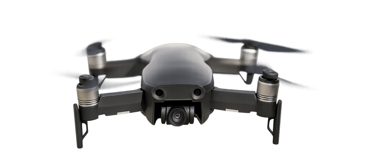
DRONE FLIGHTS
Whether documenting properties, assessing structures, supporting time-sensitive response efforts, or producing compelling visual media, our drone services offer a reliable and efficient aerial perspective that traditional methods cannot match. Every mission is conducted with attention to detail, regulatory compliance, and client objectives—ensuring dependable results across commercial, industrial, and creative applications.
*Most of our drone pilots start at $65 per hour and we offer discounts to veterans, law enforcement, and SOS Partners.
What kind of drone pilot do you need to hire?


Marketing Packages
We capture high‑quality drone and ground‑level imagery that elevates real estate marketing for short‑term rentals, Airbnb, and resort properties.
Cinematic Fly-Throughs
We create smooth, cinematic drone fly‑throughs that showcase a property’s layout, flow, and standout features in a dynamic, immersive way.
MLS Listing Photos
We provide professional drone imagery tailored specifically for MLS listings, delivering clear, elevated visuals that enhance property presentation.
Aerial Photography for Real Estate


Insurance
We provide detailed drone flights for insurance inspections, capturing clear aerial imagery that documents property conditions, damage, and claims‑related evidence with accuracy and efficiency.
Storm and Disaster Assessment
We also conduct rapid drone assessments after storms and natural disasters, capturing clear aerial imagery that documents damage, hazards, and property conditions for faster, safer evaluations.
Land and Site Inspections
Great for acreage, construction sites, large lots, ranch properties, pre-development assessments, and solar farms. We provide insight from many different angles.
Aerial Photography for Inspections


Emergency Response
We assist emergency and disaster response teams with rapid aerial assessments, providing real‑time imagery that reveals damage, hazards, and changing conditions.
Incident Monitoring
We support incident monitoring with real‑time drone coverage, giving responders an elevated, continuous view of unfolding events. Our aerial perspective helps teams assess conditions, track movement, and make faster, safer operational decisions.
Search and Rescue
We assist search and rescue operations with rapid aerial coverage, using drones to scan large areas, identify heat signatures, and locate missing persons faster and more safely.
Public Safety and Emergency Response
We make safer conditions!
(737)424-8627
info@stateofsafe.com
© 2026 State of Safe. All rights reserved.
About | Careers | Privacy Policy | Terms and Conditions | Management